link
Spatialize your data

Much research data is related to spatial entities like places, provinces or other districts. If your research data refers to entities of colonial Spanish America, it is likely that these entities (or proxies) exist in our database with a "spatiotemporal footprint".
To create geodata from your tables, they must conform to some basic structure: in particular, they must contain a few standard fields with a shared identifier and temporal information. We have created an Excel template with sheets for tables related to settlements (points) or territories (polygons) that can be used as a start.
If a table conforms to that structure it can easily be crossed with the database. Just send us the table as CSV or Excel file and we will run the automatized process within short time.
If your data is hard to structure in that format or if you struggle to find the Indias IDs , contact us. We will surely find a solution.
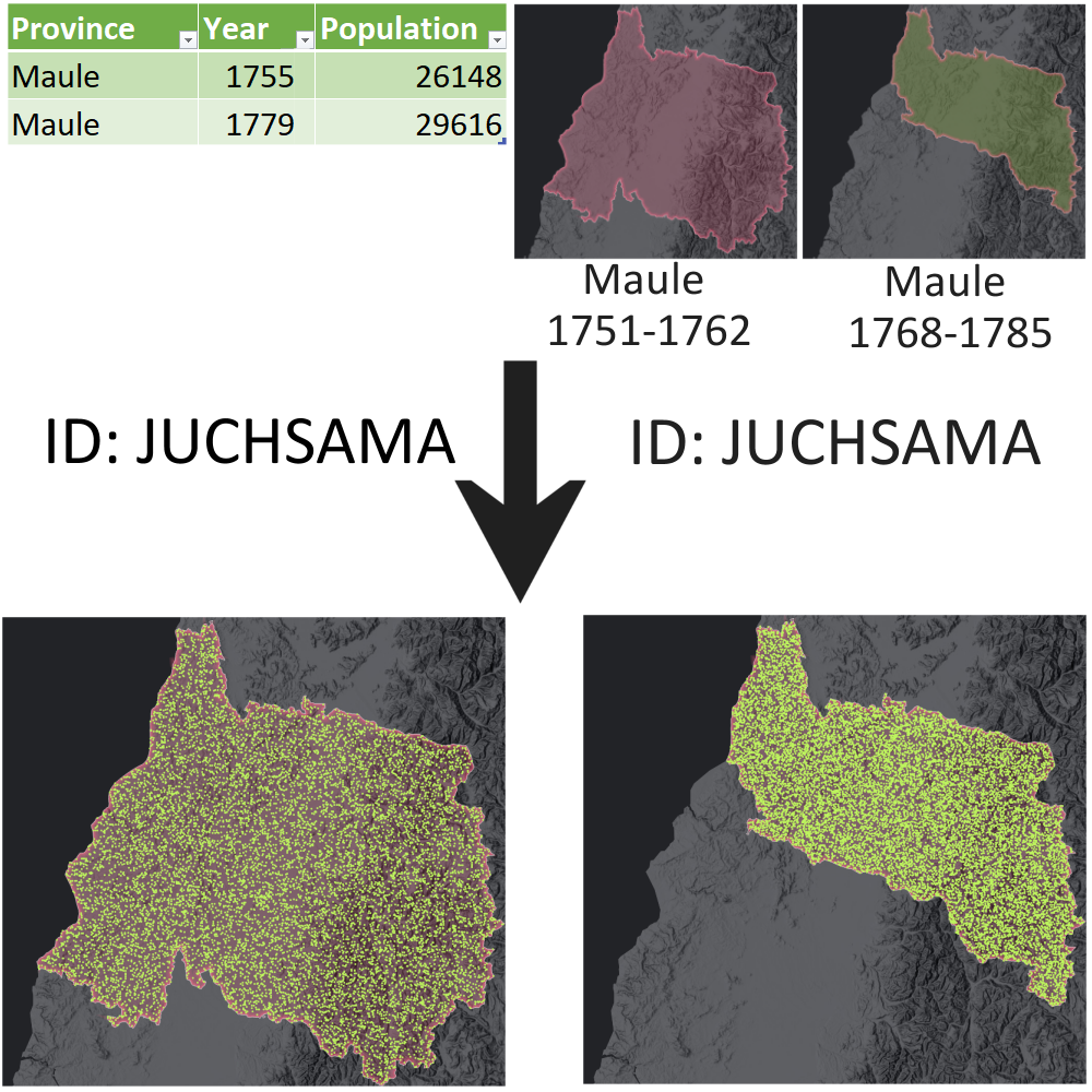
The graphic to the left illustrates the basic idea in form of an example. A table has population data of Maule province in Chile for two moments. The Indias database knows Maule province (with ID JUCHSAMA) and has several geometries for the province because it was divided several times.
With an ID field added to the table, our processes will be able create a new dataset with the combined information from table and geometries.
Spatializing your data usually has phases:
- Restructure your data to fit the template
- Add the correct IDs (by hand or semiautomatic matching)
- Set the moment or period for the matching.
- Prepare metadata.
- Send the table to us.
- Get your spatialized dataset back.
Understand and connect your data


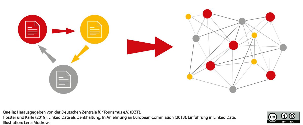
By incorporating Indias IDs, you also automatically link your data to others using the framework. Rather than working with independent datasets, this allows to contextualize your data, discover connections and harmonize analysis.
By yuxtaposition and crossing information and referential data you will better understand bias, lacunae and coverage of your data. Does your dataset really include information of all parishes that existed at that moment in the diocesis of Oaxaca? Let us find out.
Form strategic alliances and research partnerships

By becoming part of this shared "datatope", your work can also create more impact - if you and we agree to adding your dataset to the repository.
If you have fundamental historical spatial data that supplements HGIS-Indias in its infrastructural function, for instance environmental data, consider to join forces. Let us be jointly useful to our peers.
Also, if you think spatial analysis might significantly contribute to your ongoing or planned research projects but do not know how to get started, do not hesitate to reach out and team up!


